
What are the German wind zones according to Eurocode 1 (DIN EN 1991-1-4/NA)?
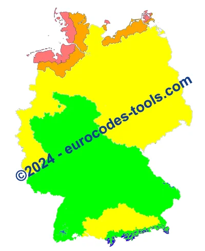
On the map in the national annex, Germany is divided into four wind zones, marked from 1 to 4.
| Zone | 1 | 2 | 3 | 4 |
|---|---|---|---|---|
| Reference wind speed base value vb,0 | 22.5m/s | 25.0m/s | 27.5m/s | 30.0m/s |
How can the reference wind speed be adjusted for each wind direction and return period in Germany?
\[\displaystyle v_{b} = c_{prob} \cdot c_{dir} \cdot v_{b,0}\]A variation must be considered with the probability coefficient Cprob.
No reduction can be considered with the direction coefficient Cdir=1.0.
vb must be increased if the location of the structure is above an altitude of 800 m above sea level.
The increase factor is (0.2 + Hs/1000), where Hs is the level above sea level in m.
For the crests and summits of low mountain ranges and above Hs = 1100 m special considerations are needed.
You must also take into account the effect of terrain roughness (vegetation / urbanisation) and the effect of orography (terrain relief) to accurately determine the peak dynamic pressure for each wind direction.
What categories of land are available in Germany?
Category I :
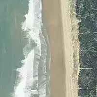
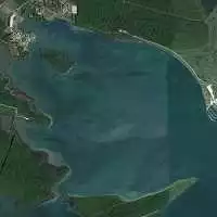
High seas, lakes with a clear zone of at least 5 km in the direction of the wind, flat, smooth terrain with no obstacles.
Can be used on North Sea islands.
Category II :
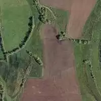
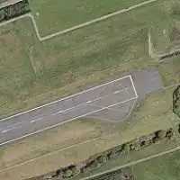
Land with hedges, individual farms, houses or trees, for example: agricultural land.
Category III :
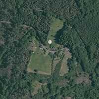
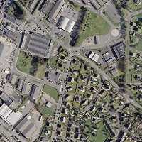
Suburbs, industrial or commercial zones, forests.
The reduction in wind speed at ground level due to forests can only be assessed with terrain category IIIn the event of a severe storm, there is no guarantee that the ground roughness of category III will remain effective as vegetation may not be able to withstand the forces of the wind.
Category IV :
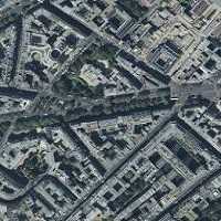
Area where at least 15% of the surface area is covered by buildings with an average height of over 15m.
Transition zones
Category II-I :
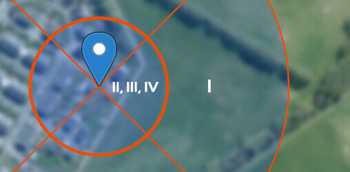
Can be used in a 5 km wide coastal strip inland (areas close to the coast) and on the islands of the Baltic Sea.
Category III-II :
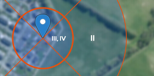
Can be used inland
- The mixed coastal profile: describes conditions in a transition zone between terrain categories I and II.
- The inland mixed profile describes conditions in a transition zone between terrain categories II and III.
They are determined according to this rule:
The influence of varying ground roughness can be recorded as follows without further examination.
- If the building site is within 1 km of a change from smoother to rougher terrain, the least favourable and smoothest category of terrain should be used.
- If the location of the building is more than 3 km from the change in roughness, the rougher terrain category can be used if the building is less than 50 m.
- For structures over 50 m high, the smooth ground category must be used.
Another special feature is mentioned in the German national annex:
- Wind speed reduction near forest edges can only be assessed with terrain category II. During a strong storm, there is no guarantee that Category III ground roughness will remain effective, as the vegetation may not be able to withstand the forces of the wind.
Example of results for wind zones in Germany given by Eurocodes Zoning software
The Eurocodes Zoning software allows you to obtain wind zones in Germany free of charge from a GPS point. Try it now!